TECHNICAL SOLUTIONSAerial Surveys, Mapping & Data Capture

Aerial filming with unmanned aerial vehicles (UAVs) or drones as they are most often known, is the future of aerial sports photography, tv commercials etc.
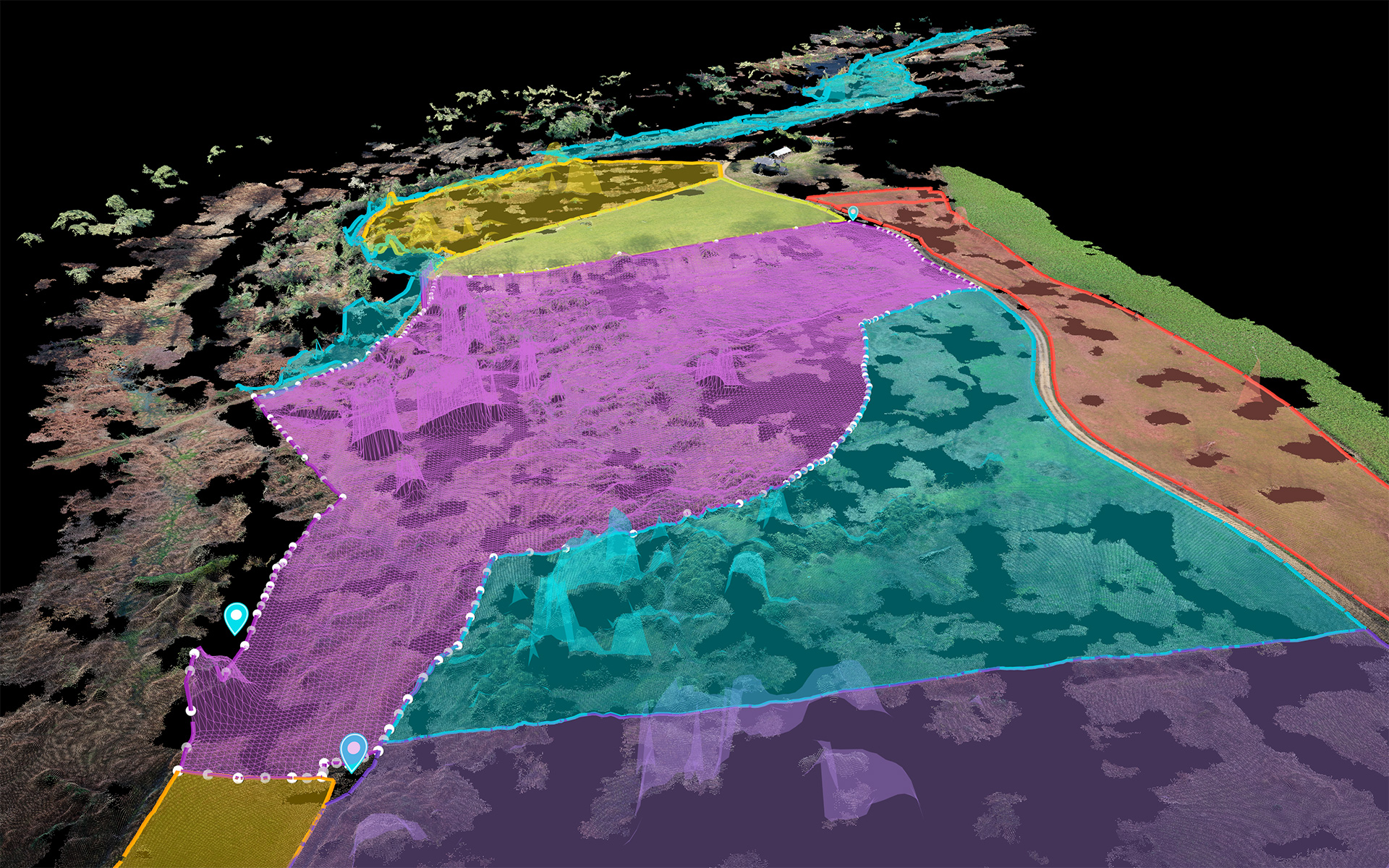
https://aerialview.info/wp-content/uploads/2020/09/boundarylinesmapping.jpg

AERIAL SURVEYS, MAPPING & DATA CAPTUREAerial Surveys & Mapping

We’ve able to survey all kinds of environments and subject matter, all of which can be repeated with the same flight path, resulting in the ability to compare datasets capture periodically at the same location over time.

GROUND CONTROL POINTS
When centimetre level accuracy and precision is required for survey data we use Ground Control Points (GCPs) alongside our drones to ensure to mark and reference an exact coordinate of the location. Ground points are marked on the ground so to be visible on the aerial drone imagery, each point is recorded using our RTK GNSS receiver, which is accurate to several centimetres. When the drone data is processed, the GCP data is used to accurately reference the GPS location of the GCP markers captured by the drone.
TRAFFIC SURVEYS
We use drones to monitor and track traffic activity and volume within carparks and across road networks. We repeat surveys at various time intervals (hours. days & months) to build up a detailed dataset which is analysed to identify patterns of high/low usage, problem hotspots or areas with no usage that can be repurposed.

AERIAL SURVEYS, MAPPING & DATA CAPTURELand Management & Environmental Monitoring

From vegetation mapping of SSSI (Sites of Special Scientific Interest) to documenting new or lost field boundaries, our drone imagery and data capture services have enabled our clients to complete tasks that were simply not feasible and go onto to make significant cost savings in their land and environmental management.
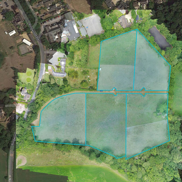
https://aerialview.info/wp-content/uploads/2021/01/bransgoreFieldOverview-640x640.jpg
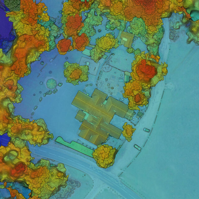
https://aerialview.info/wp-content/uploads/2021/01/elevation_mapping-640x640.jpg

AERIAL SURVEYS, MAPPING & DATA CAPTUREData Capture, Visualisation & Export

Photogrammetry is the process of capturing images of a subject from various views and angles, which are then processed to generate 2D orthomosaic imagery, 3D renders, point clouds, elevation and digital terrain models. The once processed, the data can be exported in a range of digital formats for use in existing workflows.

NEW PERSPECTIVE
Dynamically innovate resource-leveling
customer service.
CAPTURE MOMENT
Holistically pontificate installed base portals
after products.
https://aerialview.info/wp-content/uploads/2019/11/logo-white-150w.png

Creative & Technical Drone Solutions

Call us on 0800 949 4500 or email hello@aerialview.info

Join us on social media!

Terms and Conditions | Privacy Policy | Cookies
Copyright © 2023 Aerialview