ROOF & BUILDING INSPECTIONSRoof Inspections
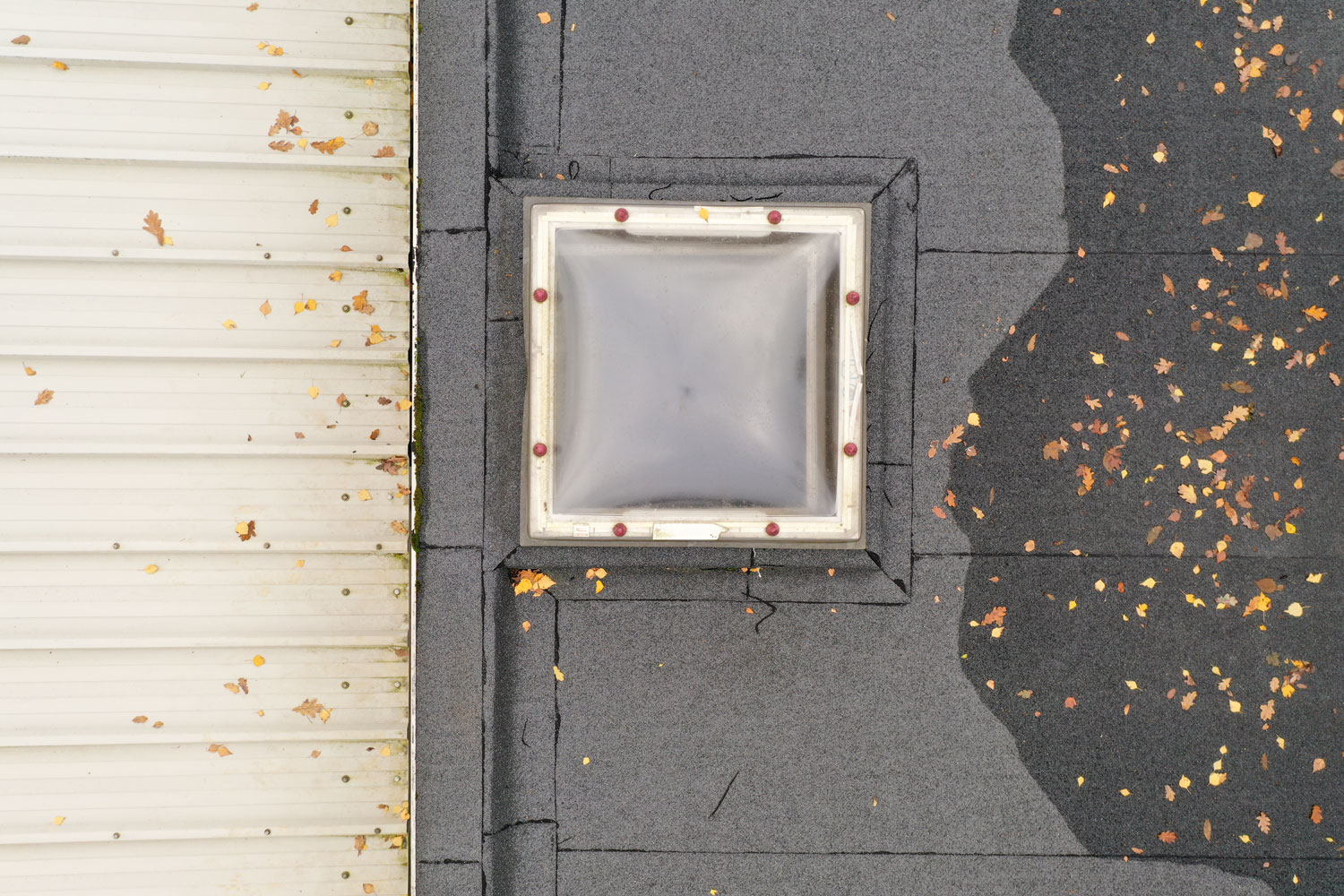
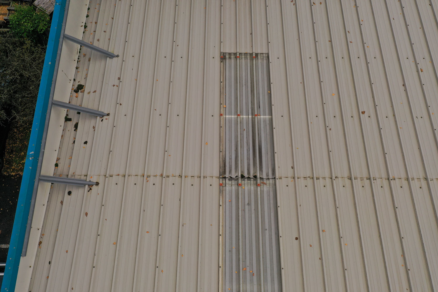
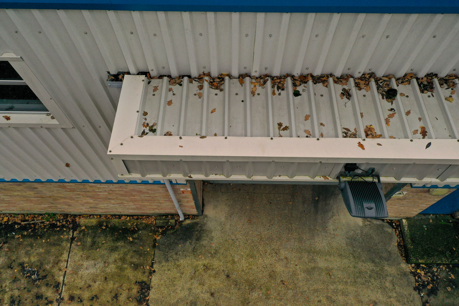
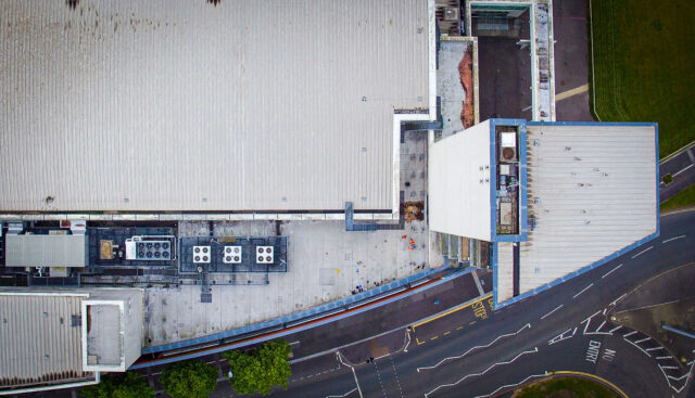
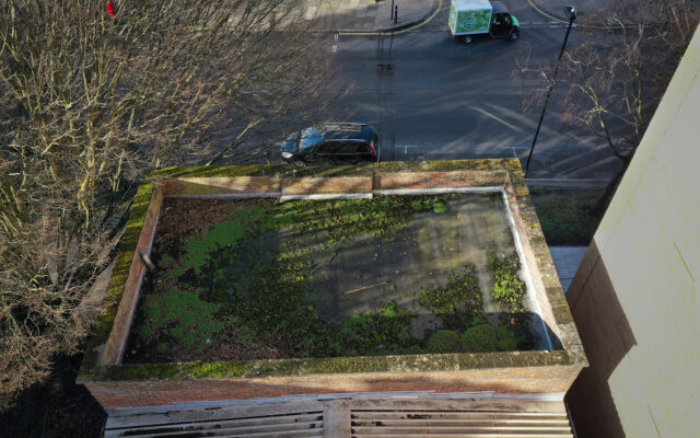
We work with surveyors and building consultants to provide detailed aerial inspections and document the condition of pitched roof, gutters, parapets, chimneys and flat roof areas, etc. We capture high-res imagery, video footage and 360 close-ups which are compiled and documented into an easy to digest format for review.
ROOF & BUILDING INSPECTIONSBuilding Facades & High-Level Inspection
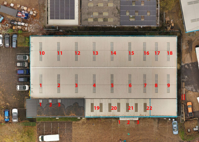
In addition to roof inspections, we also provide close-up and stitched 2D/3D imagery of building surfaces and structures. We can map the surface of a building in a relatively short space of time, without the need for scaffolding, allowing for remote assessment of buildings by your teams.
We process the capture imagery using our Drone Deploy subscription which results in accurate 2D orthomosaic and 3D rendered models from which all kinds of data can be extracted, analysed and then exported in industry standard formats.
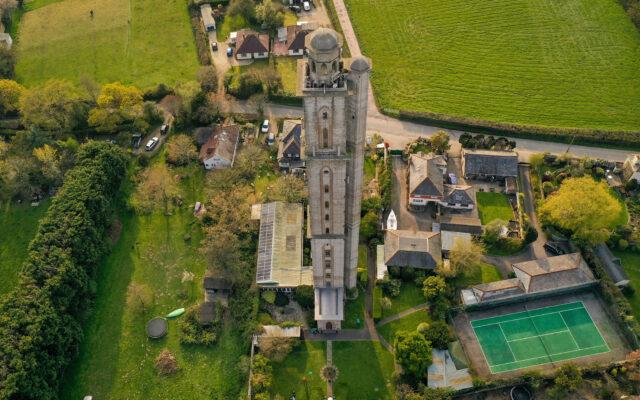
ROOF & BUILDING INSPECTIONSHistoric Building Documentation
In addition to roof inspections, we also provide close-up and stitched 2D/3D imagery of building surfaces and structures. We can map the surface of a building in a relatively short space of time, without the need for scaffolding, allowing for remote assessment of buildings by your teams.
We process the capture imagery using our Drone Deploy subscription which results in accurate 2D orthomosaic and 3D rendered models from which all kinds of data can be extracted, analysed and then exported in industry standard formats.
ROOF & BUILDING INSPECTIONSInsurance Claim Assessment
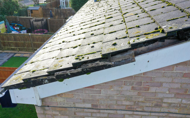
We provide insurance companies with detailed aerial imagery to support the assessment and processing of their ongoing insurance claims. We’re able to inspect properties at short notice and provide a wide range of images types, from close-ups of damage, to the general overall property condition, 360 surround snapshots can also be captured to compare with neighbouring property.

ROOF & HIGH-LEVEL INSPECTIONBuilding Facades & High-Level Inspection
In addition to roof inspections, we also provide close-up and stitched 2D/3D imagery of building surfaces and structures. We can map the surface of a building in a relatively short space of time, without the need for scaffolding, allowing for remote assessment of buildings by your teams.
We process the capture imagery using our Drone Deploy subscription which results in accurate 2D orthomosaic and 3D rendered models from which all kinds of data can be extracted, analysed and then exported in industry standard formats.
customer service.
after products.
